Less texture. More landscape.
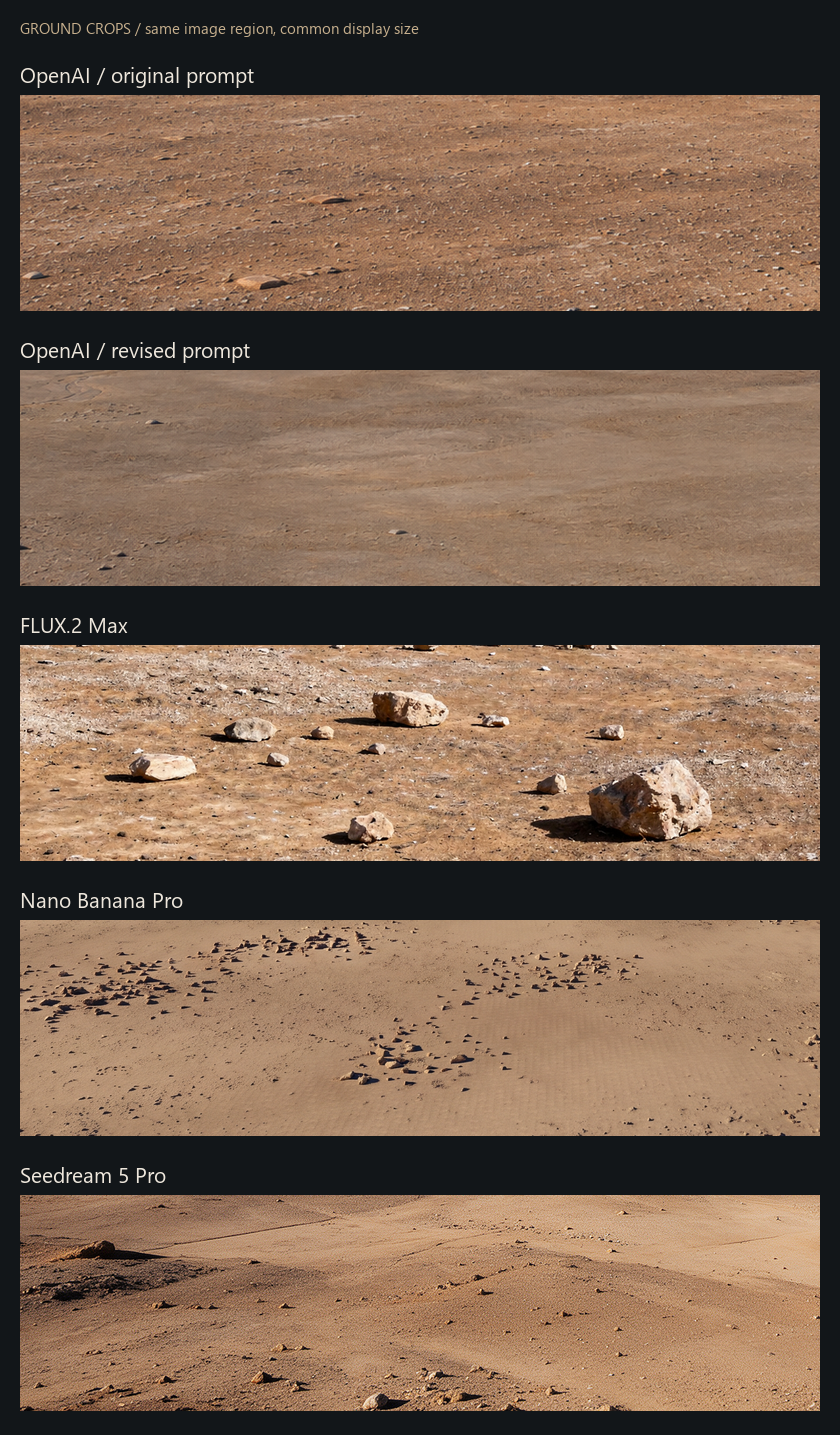
Compare image models on the same mesa frame. The revised prompt asks for quiet sediment, irregular stone clusters and surface detail that fades naturally with distance. Use the ground crops to judge repetition, sharpness and scale independently of the cliff.
Four revised samples share the same input and prompt; each is one sample, with provider-specific output settings. The original OpenAI image uses the earlier prompt and remains as a historical baseline. These are generated references, not photographs or renderer output.
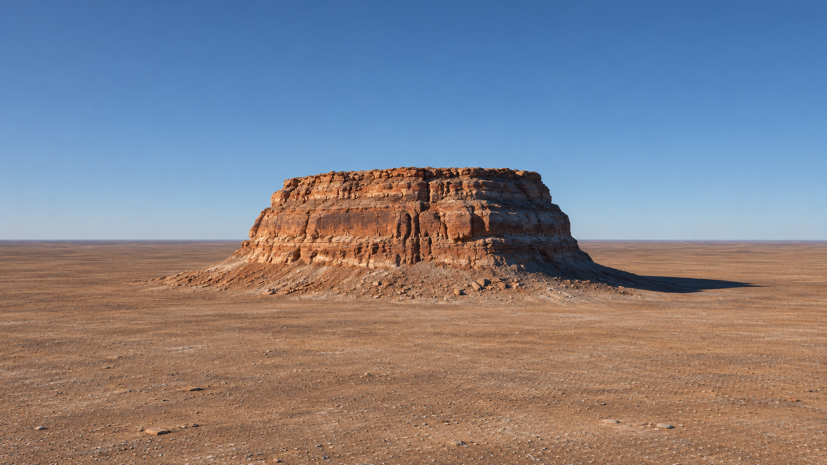
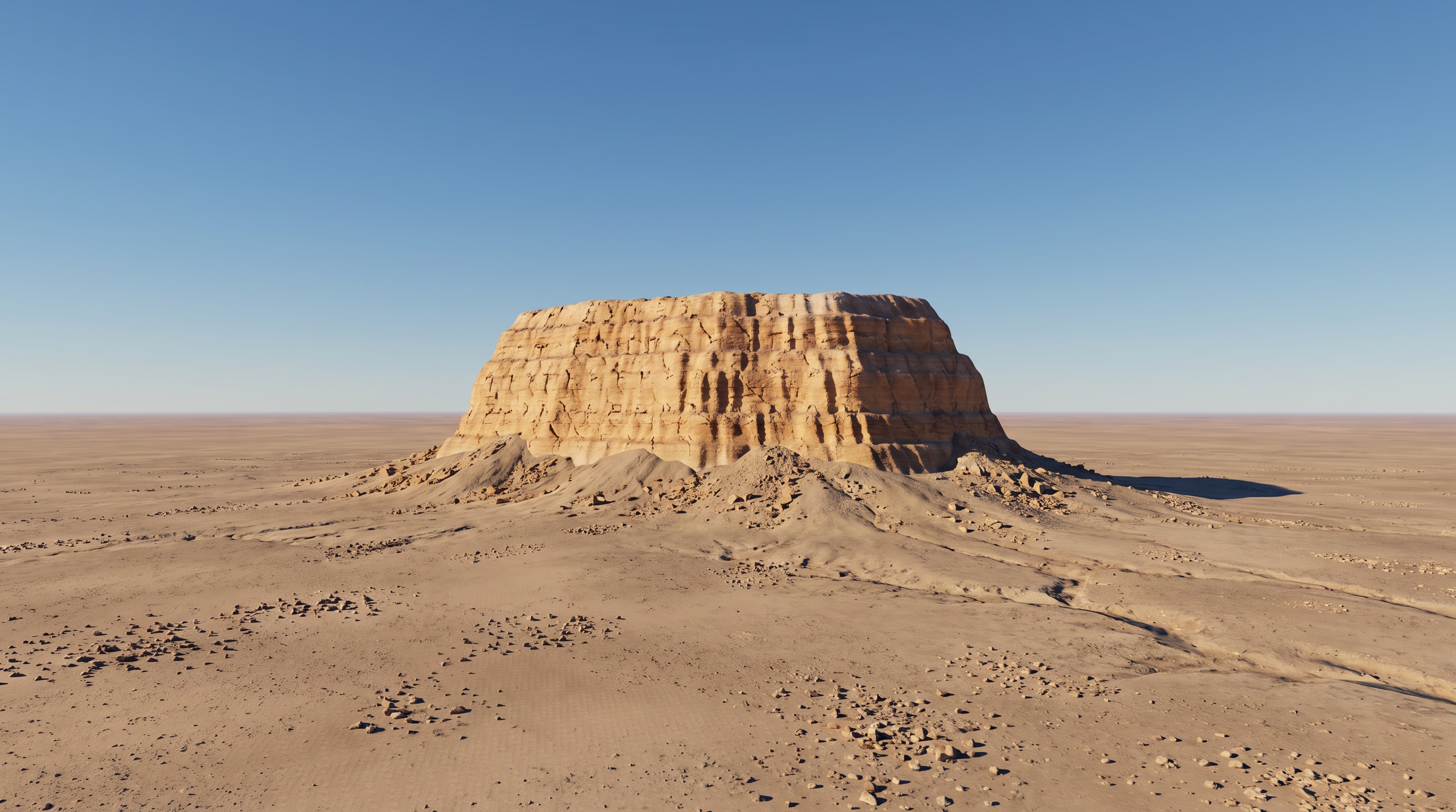
Different models. The same starting scene.
What changed in the ground?
Comparison method and saved evidence
All revised results use the same actual GPU capture and the same revised prompt. The fal model settings and request identifiers are saved with each image. OpenAI's built-in tool does not disclose an exact model version or reproducible seed.
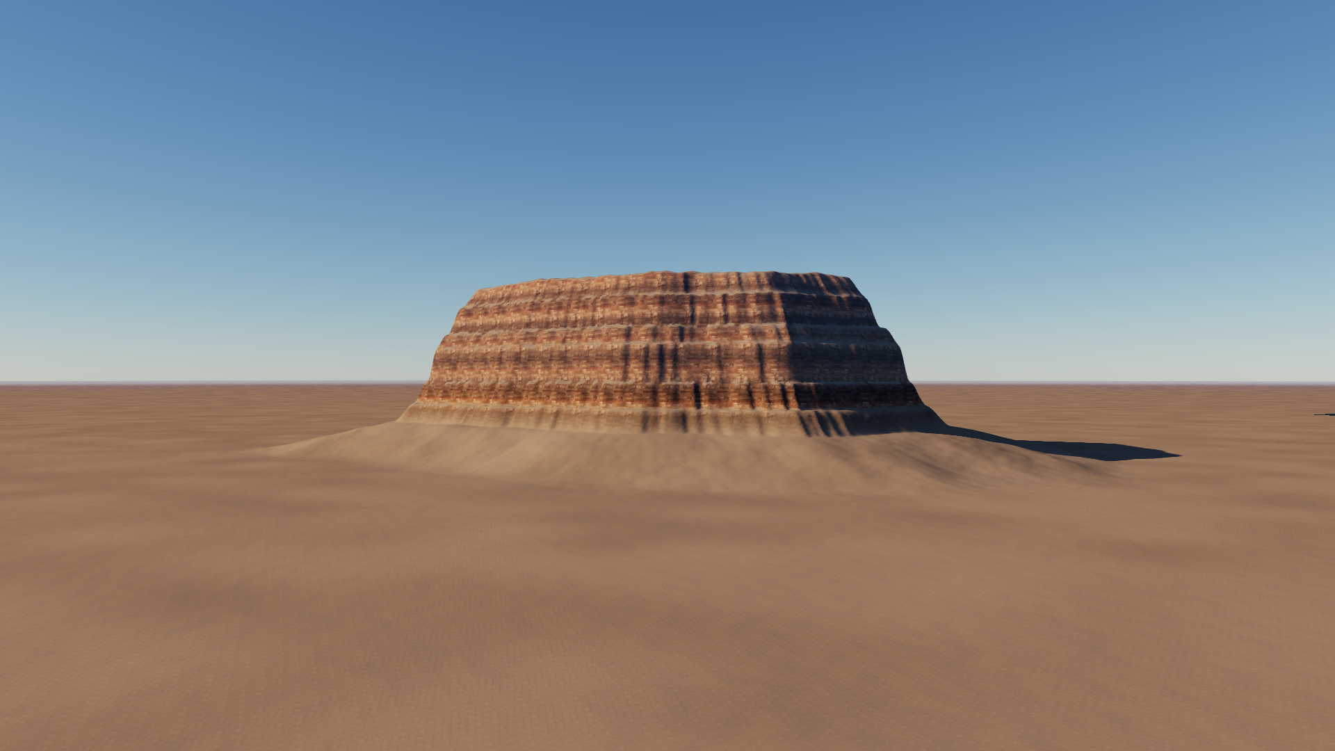
Ground crops use the same normalized rectangle: x = 4–54%, y = 72–96%. They are resized to a common 800 × 216 view with Lanczos filtering and no sharpening. Original files remain available by clicking each full image. Generated geometry and framing can drift; wipe comparisons are not pixel-aligned ground truth.
Inspect broad soil variation, sparse and unevenly clustered stones, and loss of fine detail with distance. A sharper image is not necessarily a more realistic one. This small study supports choosing a visual direction, not a general model ranking.
Study manifest and review · Ground contact sheet · Starting capture evidence · Renderer validation · Previous cloud scene